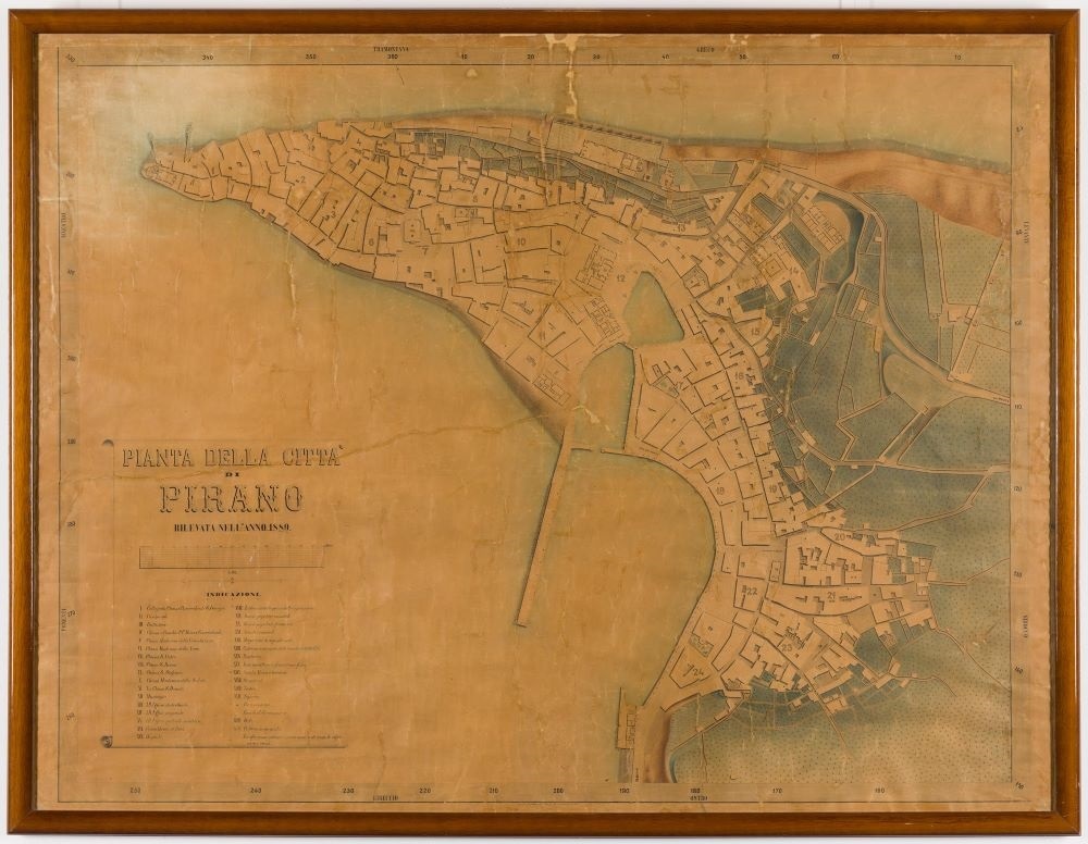
The digitization of the topographical map of Piran from 1889
The team of the Koper Science Research Center (ZRS), which runs the so-called coastal city living lab, ordered within the framework of its SCORE project digitization of the unique topographical map of Piran from 1889: "Pianta della città di Pirano", which is held by the Maritime Museum Piran.
The map displays the infrastructure of the city of Piran around 1889: the ground plan of the city, all built-up areas with street markings, including the legend of the most important buildings in Piran at that time. Some details are of special interest, such as the outline of the paving and the bridge over the former inner mandrake, the locations of the wells once used in Piran, and the public drinking fountains that can hardly be found today. It points at the locations of wells with cisterns even inside buildings.
By pinpointing the locations of Piran's water sources, the ZRS Koper team attempts to raise public awareness of the importance of clean water and providing for its availability. The end goal is to restore some of these unique historical Venetian architectural jewels. This means that the wells should (yet again) supply the community with fresh water for watering gardens, cleaning streets and markets, thus replacing the use of precious drinking water from the tap.
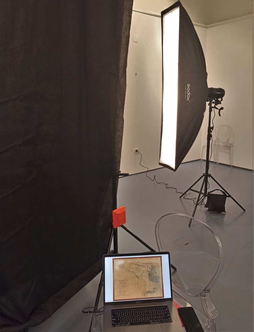
The challenging job of photographing the framed and with glass protected map was carried out by Aleš Rosa. He had to place the 159 x 123 cm map in such a way as to ensure that the reflection of light from the glass was as slight as possible, and to make certain at the same time that all the details on the map could still be discerned.
After the successful digitalization, the ZRS Koper team handed the digital map over to Dr Nadja Terčon, the museum councillor, and Franco Juri, Director of the Maritime Museum Piran, with the aim of making map data easier to study and that the map would be on display to the public and visitors to the Maritime Museum "Sergej Mašera" Piran in the near future.
The ZRS Koper and Maritime Museum Piran will do their best to raise public awareness regarding urban wells of this kind as part of the built environment of Piran. They can indeed be dealt with as close-to-nature solutions for providing drinking water in urban environments.
For more information on photographing the map and on the living laboratory of the coastal town of Piran, see the following websites:
https://www.zrs-kp.si/index.php/score/
The knowledge about wells will be broadened by utilizing the application developed by us together with the University of Dublin [1]. With this tool, any person can contribute his or her knowledge about Piran and its infrastructure. The platform enables its users to enter locations, photos, and additional details about wells, cisterns, urban greenery and historic permeable pavers.
https://geosurveys.score-eu-project.eu/map/zgodovinski-vodnjaki/